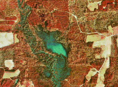
Digital Orthophoto Quarter Quadrangle (DOQQ) are digital aerial images that are spatially accurate with planimetric feature in true geographic positions. A DOQ uses a 1:12,000 scale representations of a quarter of an area, and comes from a conventional USGS 7.5 minute topographical map. However, a format of a DOQQ differs from DOQ because it covers one quarter of a quadrangle (four 1:12,000 scale versus just one 1:24,000 DOQ). This example is of Johnston County, Nebraska in 1998.
No comments:
Post a Comment