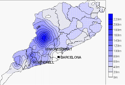
Isopleth is a line connecting all points of equivalent numerical value of a variable. Examples of that value could be a population figure or geographic measurement. This variable can't be measured at point, therefore data is collected at this area and it is calculated to plot. This map is ideal for depicting change over space as the boundary lines do not abruptly change such as on a choropleth map.
No comments:
Post a Comment