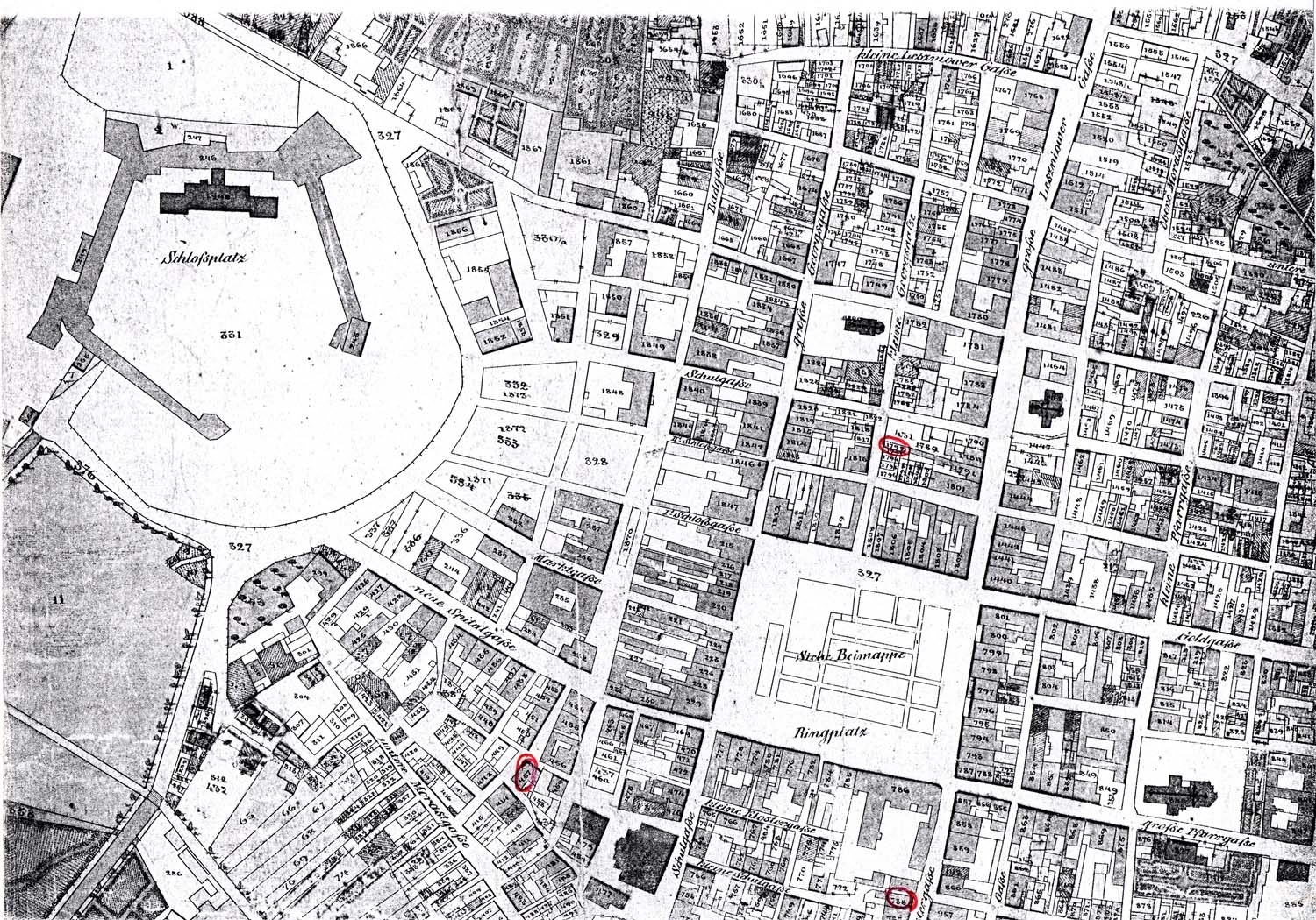
This is a Cadastral Map of Brody, Austria in 1844. A cadastral map provides information about real property in a specific area. It can include information about tax rates, landowners, zoning and structures of the region so that viewers can earn about the land. Fun fact: it has been used as a source to settle disputes between landowners and tenants because some cadastre surveys can have history of land use and owners. Most importantly, it is used for real estate to examine the property's metes-and-bounds. For more examples of typical cadastral maps,
click here. I have found a great site that has many cadastral maps from all over the world.
No comments:
Post a Comment